![]()
Home | Services | Customer References | Employment | History of Surveying |
|
|
The Second Oldest Profession |
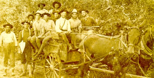
Surveying. Surveying has to do with the determination of the relative location of points on or near the surface of the earth. It is the art of measuring horizontal and vertical distances between objects, of measuring angles between lines, of determining the direction of lines, and of establishing points by predetermined angular and linear measurements (Davis, 1). Surveying was first used by the ancients during the Babylonian era (around 3,800 B.C.). Egyptions used surveying techniques during the construction of the Great Pyramids. Since then, it has evolved as both an art-form and a mathematical science. Land surveying now encompases many sub-categories such as: boundary surveying, topographic mapping, engineering surveying, photogrammetry, and geodetic surveying. 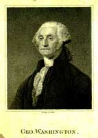
In the United States, land surveying has a rich history. Many great U.S. leaders were land surveyors; George Washington, Lewis and Clark and Mason & Dixon to name a few. The first surveys ordered by the Federal government began in 1785 by an ordinance that divided land north of the Ohio river (Davis, 598). The more interesting parts of the history of surveying in the State of Georgia begins with the Georgia Land Lottery of 1805. Five other land lotteries followed in the state, ending with the Georgia Land Lottery of 1832 which divided Old Cherokee County into the existing North Georgia Counties. During the 1930's, Georgia became the first state in the Union to have complete horizontal and vertical control nets (Bowie, xi). Today, Georgia surveyors are bound by state laws such as the Georgia Plat Act. Georgia surveyors are also required to become a registered land surveyor before they can legally practice land surveying. While more sophisticated and acurate instruments are widely used today for collecting data, the fundemental concepts of land surveying have not changed much since their conception. Space probes such as Surveyor VII used the same mathematical principles to measure the surface of the moon as the ancients used to measure the banks of the Nile River, only in a new and unique way. |
|
|
Non-Internet Sources:Bowie, William, et al. Geodetic Survey of Georgia. Ed: Fredrick H. McDonald. Atlanta: State Highway Board of Georgia, 1938. Davis, Raymond E., et al. Surveying Theory and Practice. 5th ed. New York: McGraw-Hill, 1968. Further ReadingPlease visit our links page for a variety of surveying related resources. |
|
© 1999 - 2000 Wikle Land Surveying, P.C. All rights reserved. |